 AeroCheck
One tap to the nearest flight.
Hear a plane overhead? Tap once and AeroCheck finds it: where it's going, how high, how fast, and the aircraft itself. Live.
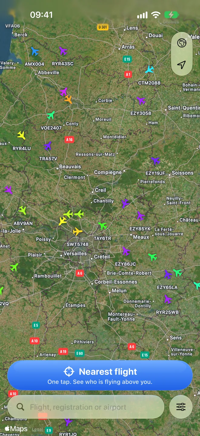 Nearest6 km NGround speed509 ktDAH1013FL350Squawk7634
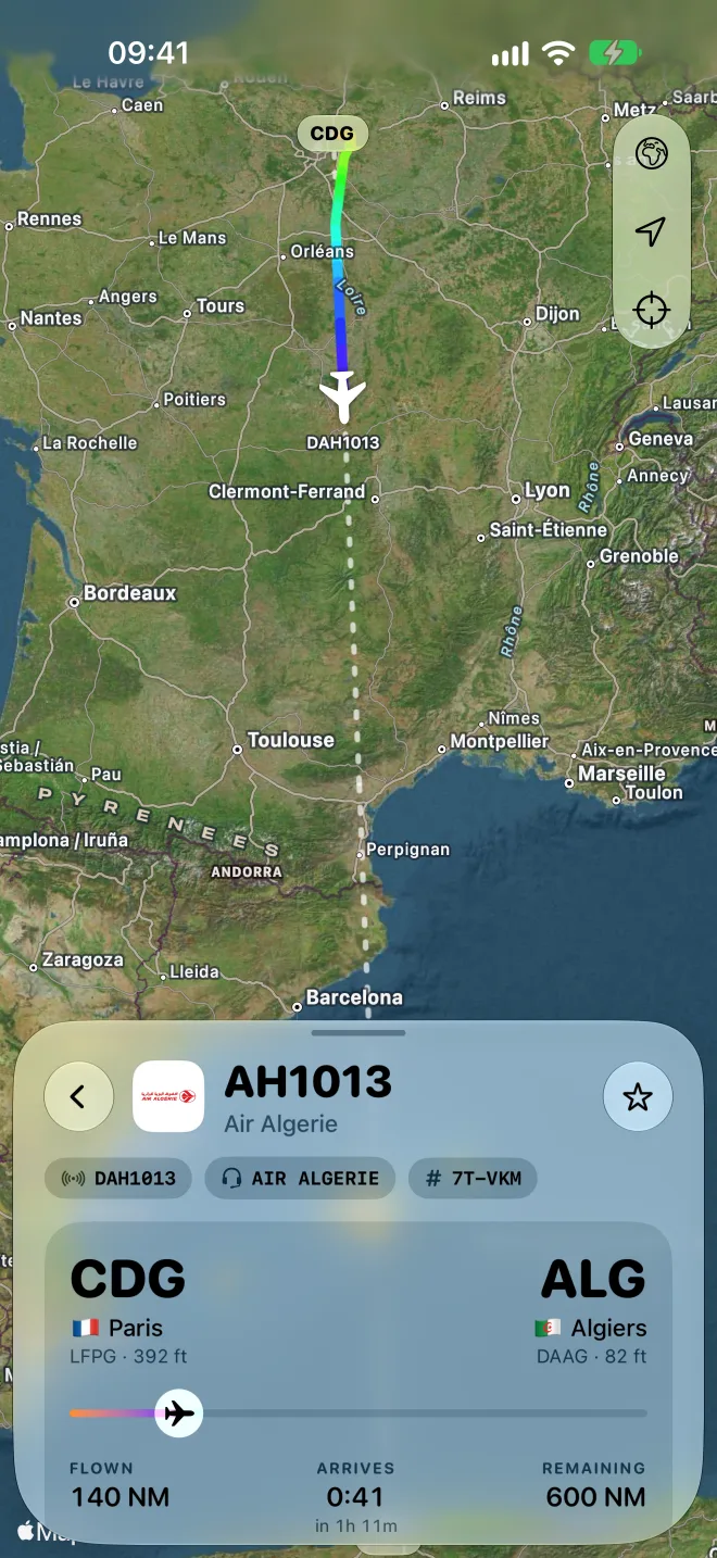
Then follow it, live
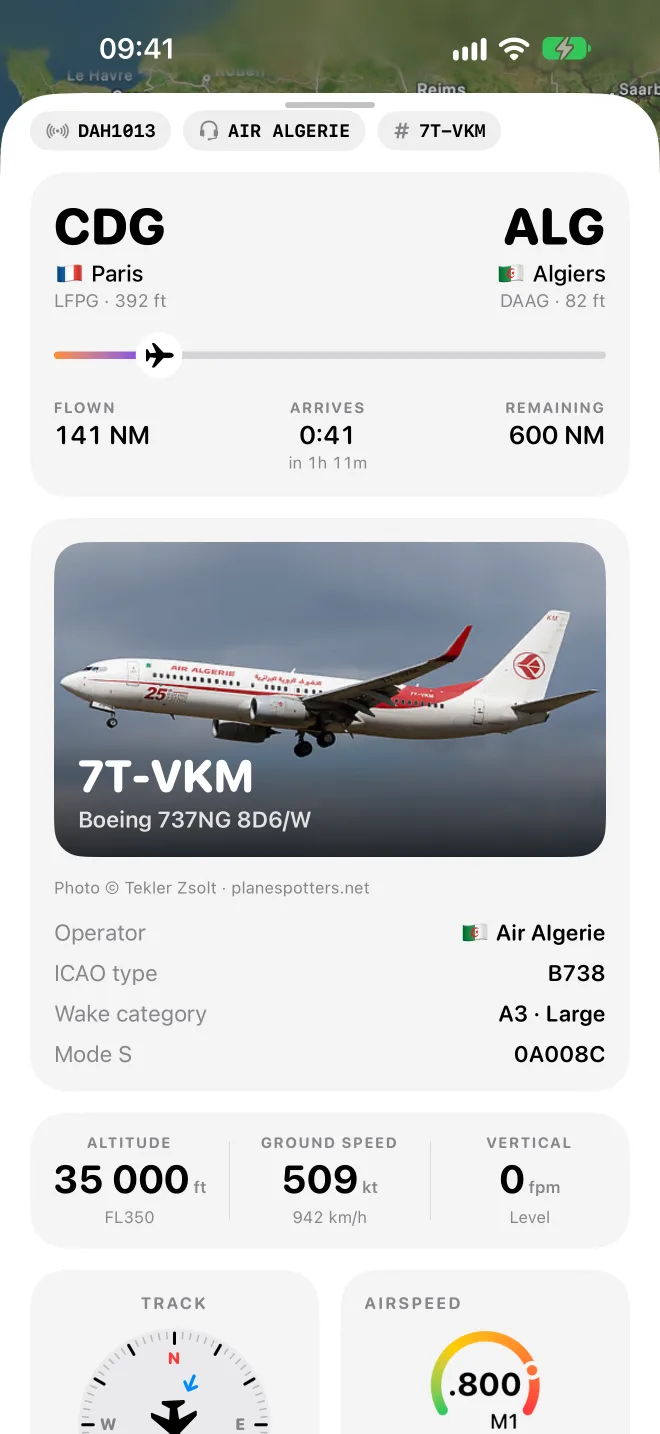
Its flown path is drawn in altitude colors, with the planned route dotted ahead. Altitude, flight level, ground speed and vertical rate update live, along with route progress and the arrival estimate. Callsign, radio callsign and tail number are always one glance away.
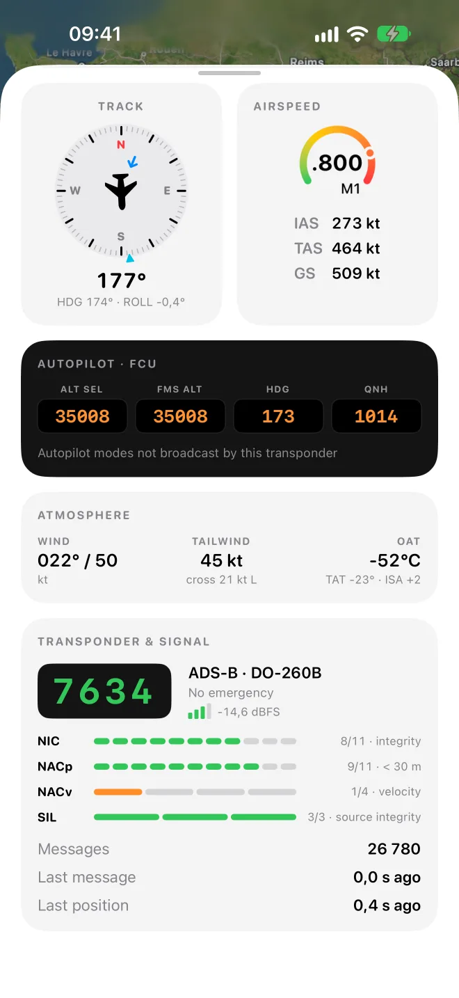
Read it like a cockpit
A compass rose with track and heading, IAS and TAS with a Mach gauge, and the autopilot panel with selected altitude, heading, QNH and active modes when the aircraft broadcasts them. Headwind and crosswind, OAT and ISA deviation complete the picture, with the squawk and transponder integrity for the true geeks.
Know the aircraft and the real ETA
See the aircraft's photo, model, operator, age and wake category. Scheduled, revised and actual times show every delay, with terminals, gates, check-in desks and baggage belts, plus takeoff and landing times and the runway.
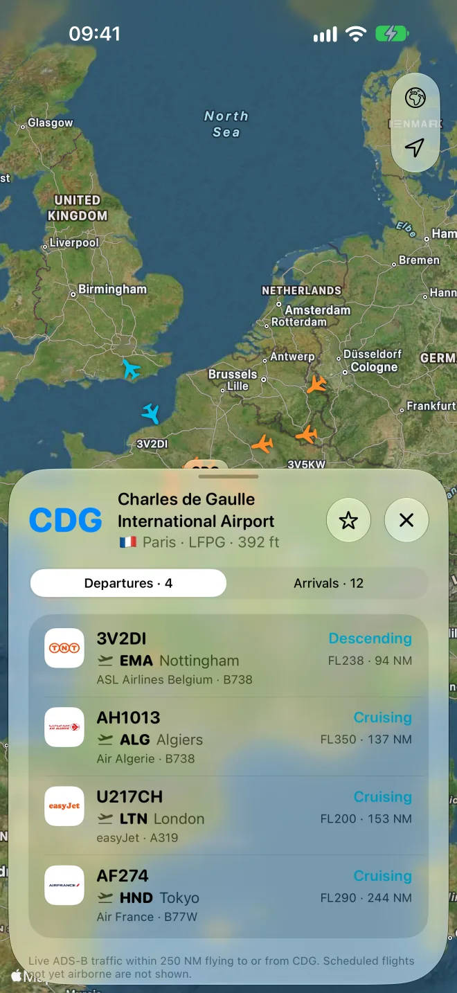
Live departure boards
Departures and arrivals for any airport, with status, gate and delay. Flights already in the air are marked live: tap one to follow it.
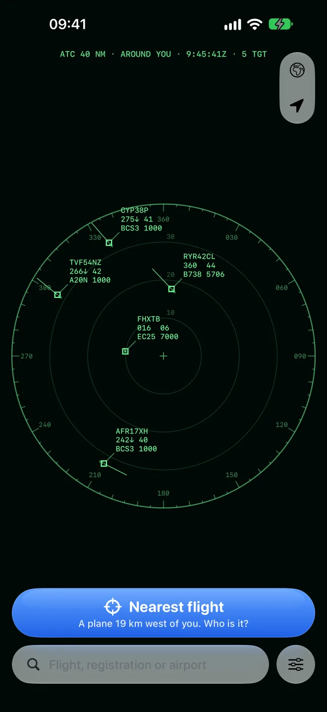
See the sky like a controller
Swap the map for a real radar scope: a fixed 40 NM range around you, with range rings and a compass rose. Every target carries its data block, callsign, flight level with a climb or descent arrow, ground speed, type and squawk, plus a history trail and a one-minute speed vector. Tap any target to follow it.
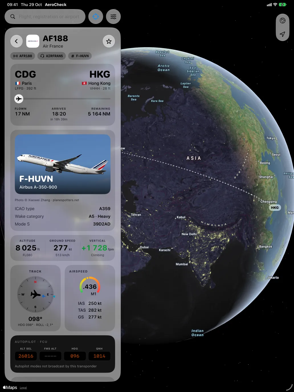
Made for iPad, too
The map, the flight card and every instrument side by side on the big screen.